OS Wall Map - Administrative Boundaries Map Of The UK
Our Price £8.99 With Free First Class Delivery On All Orders Saving £3.00 (25%)


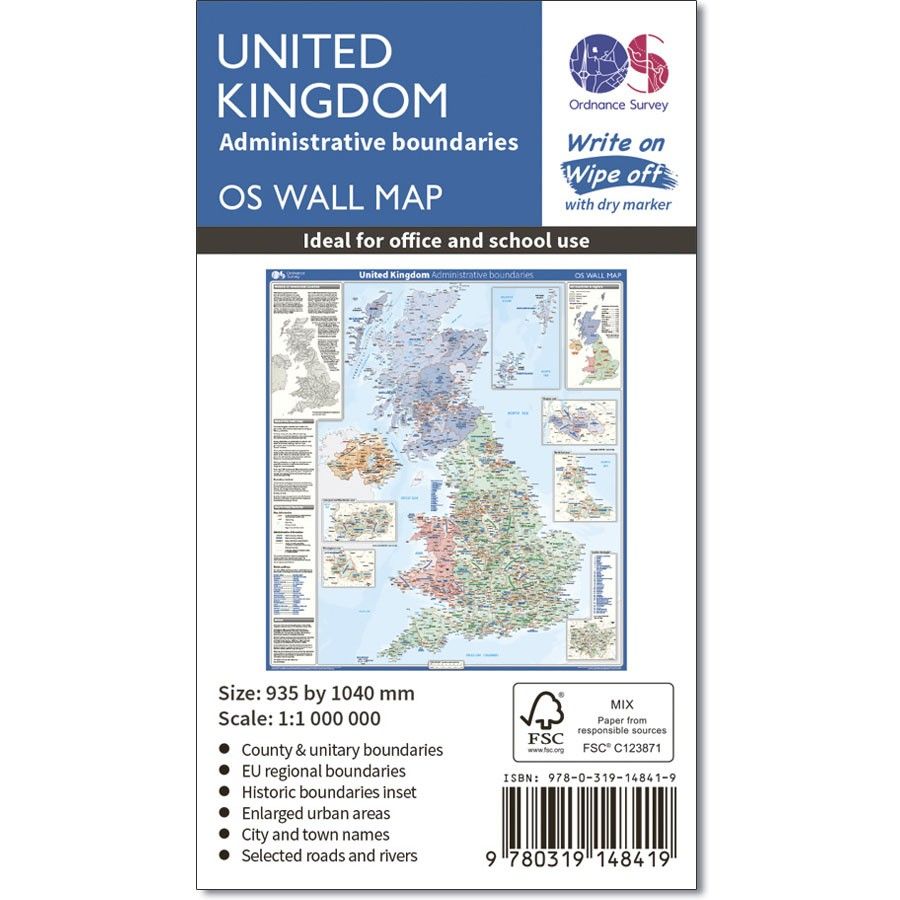
OS Wall Map - Administrative Boundaries Map Of The UK
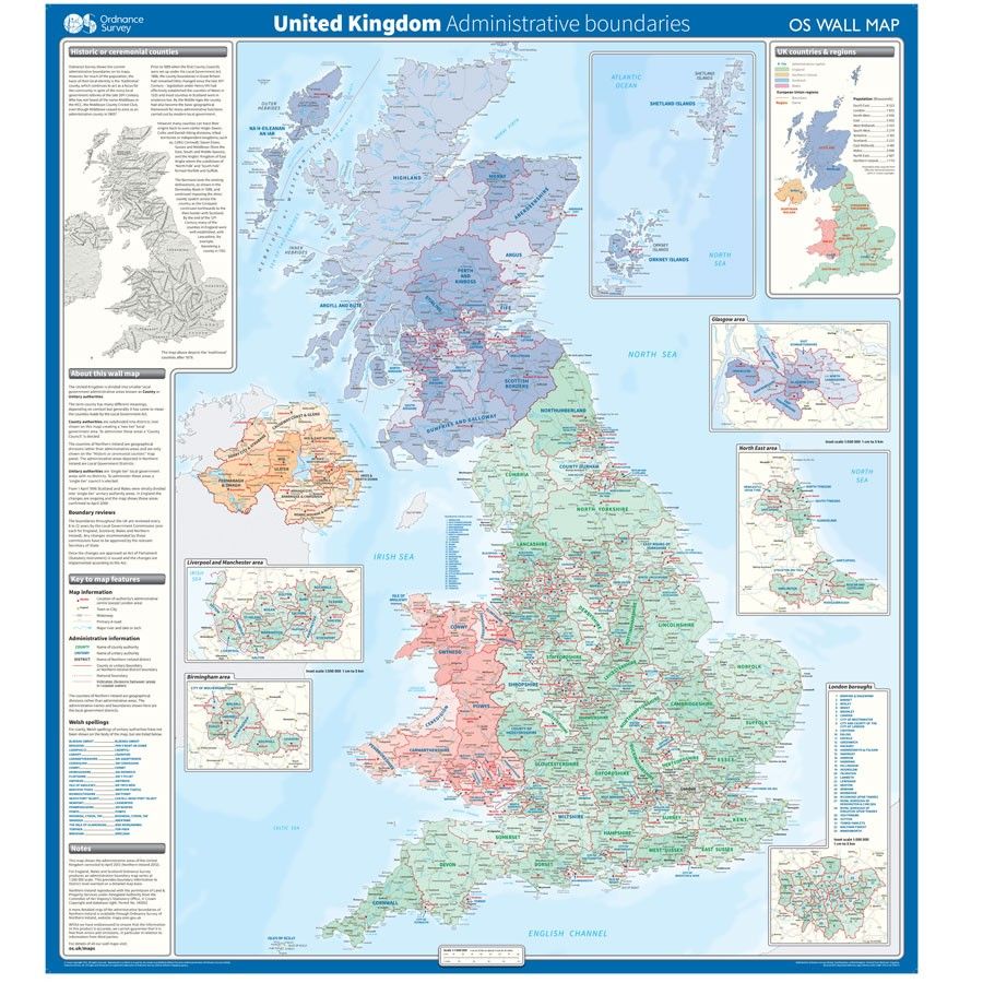
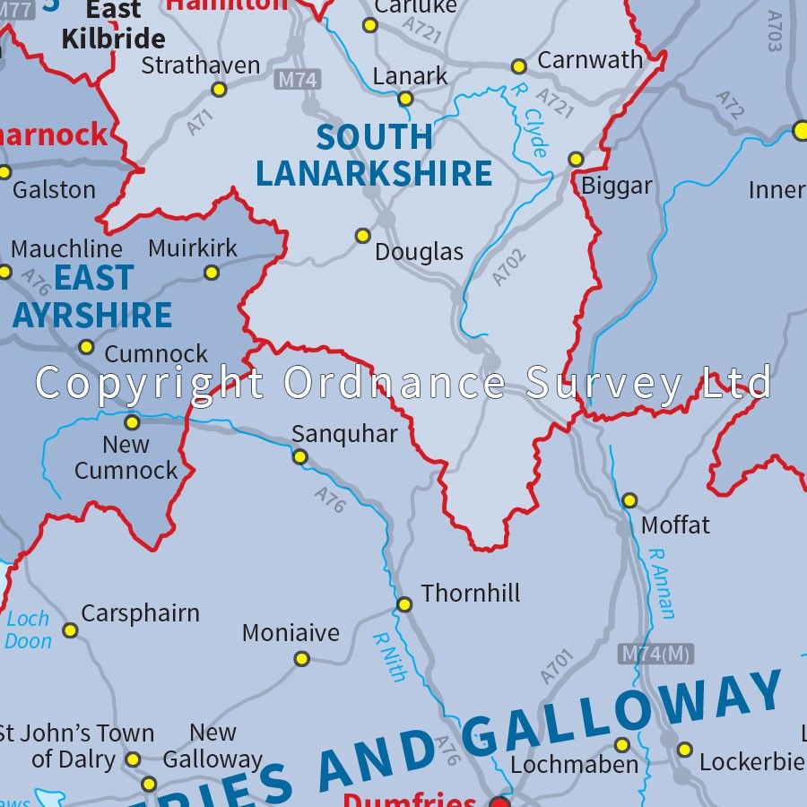
This wall map shows the National, County and Unitary Authority administrative boundaries in the United Kingdom. There is also an insert showing the historical counties and the UK regions. This wall map is ideal for students, businesses or for decoration
Supplied flat, rolled in a storage tube for storage. This map is gloss coated, so can be used with dry-wipe pens.
Specifications:
Scale: 1 cm to 10 km
Gloss coated
Physical size: 935 x 1040 mm (37 x 41 inches)
| Series | OS Wall Maps |
|---|---|
| Brand | OS |
| Continent | Europe |
| Country | UK |
Dispatch
We pride ourselves on providing a fast, efficient service and therefore we aim to dispatch all orders received before 4:00pm on the same day.
Free Delivery
We offer a free 1st class delivery service on all orders. This gaurantees you a 1-2 day delivery service via Royal Mail.
Need it fast?
we offer a selection of shipping upgrades at the checkout stage.
- Expedited Shipping - Royal Mail 1st Class: FREE
- Next-Day Courier Shipping - 24hr Courier Service: £6.95
The Dash 14 day – ‘No Questions Asked’ Returns Policy
Provided you return the item(s) to us in an unused and resaleable condition along with its original packaging…
We guarantee that if you change your mind for any reason within 14 days of purchase, you are free to return your item(s) to us for exchange or full refund on the product price
Beyond our 'No Questions Asked' period we will of course, happily accept items being returned as a result of damage or packing errors. In each of these cases we will provide you with a freepost address for the return of the item(s).